
⌖
Locate offline
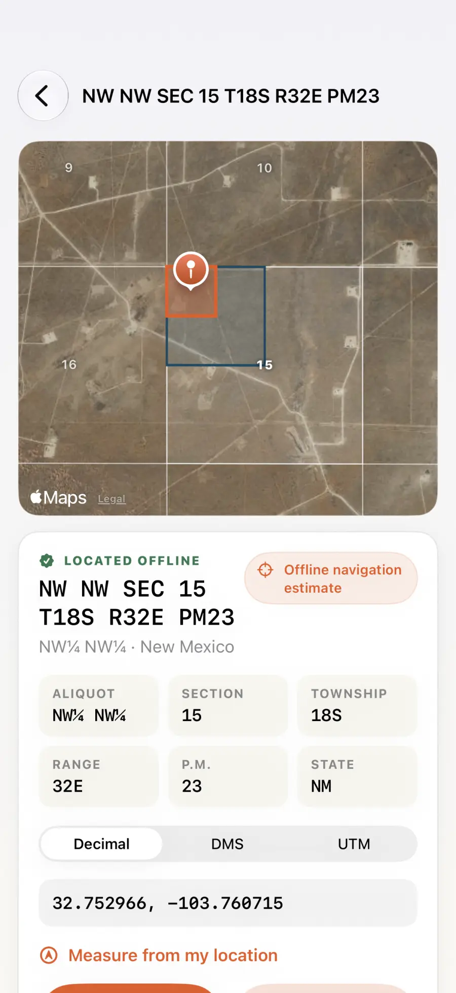
Paste a legal description, enter its fields, tap a map or use your current position. Grid conversion stays on the device.
Available now for iPhone and iPad
Turn PLSS, DLS and ATS legal descriptions into a field location, even when the signal disappears.
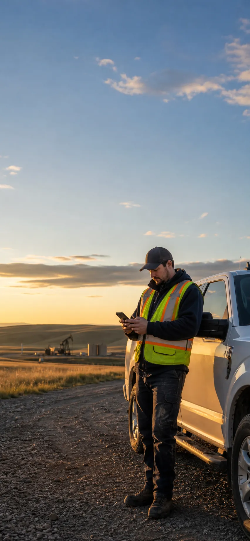
For oil and gas crews, land agents, survey-adjacent teams, rural contractors, farmers and anyone who receives a township-style legal description instead of a street address.
Paste a legal description, enter its fields, tap a map or use your current position. Grid conversion stays on the device.
Read decimal, DMS or WGS84 UTM coordinates, measure distance and bearing, then hand off to an installed map app.
Save jobs and access notes. Sort the field list, preserve grid outlines and export CSV, KML, backup or PDF reports.
Current field tools
The U.S. index contains 85,622 BLM-derived township records. Canada adds Alberta, Manitoba and British Columbia's Peace River Block for 100,073 bundled townships in total.
Try Legal Land Locator with three free lookups. Turn supported PLSS, DLS or ATS descriptions into offline navigation estimates and saved field records.
Field guideA field-ready explanation of PLSS descriptions, principal meridians, aliquots and offline coordinate lookup.
Field guideHow LSD, section, township, range and meridian descriptions become navigation-ready field coordinates.
Field guideA practical guide to converting Alberta LSD and ATS descriptions into a navigation estimate on iPhone or iPad.
Field guideA concise comparison of U.S. PLSS and Canadian DLS or ATS descriptions for field workers.