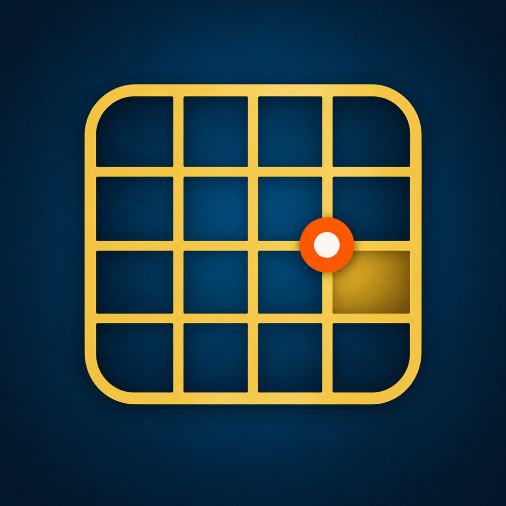
An Alberta LSD is a Legal Subdivision inside a section of the Alberta Township System. Sixteen LSD cells divide a typical section, but survey corrections and irregular lots mean a computed mobile result remains an estimate.
Enter the complete ATS description
Use LSD, section, township, range and meridian together. Missing or transposed fields can place the result many kilometres away, so compare the canonical description before opening directions.
Keep a field record
Save the result with the job, route, contact or gate note. Legal Land Locator lets you sort sites, remove individual history entries, copy coordinates and reopen the section, quarter and LSD outlines later.
Navigation aid only
The app is designed for route planning and field orientation. It cannot establish a property corner, certify title or replace official records.
Try the field workflow
Three free lookups are included. Then choose Legal Land Locator Pro: a yearly or monthly subscription, or a one-time Lifetime purchase — no account or developer server either way. Subscriptions renew automatically and can be managed in the App Store account settings.
Download on the App Store